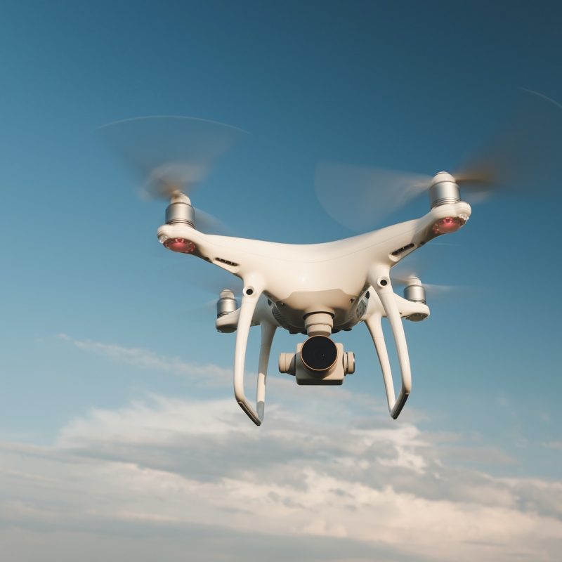
What are drone surveys?
Drone surveys are a faster, safer and more cost-efficient way to survey at height. Sometimes referred to as aerial surveys, UAS (Unmanned Aerial System) surveys, or UAV (Unmanned Aerial Vehicle) surveys, drone surveys are an increasingly popular method of surveying form the air.
For roof inspections, or large building surveys, drones are fast becoming the sensible choice because they offer great advantages in safety and speed of access.
Home-MOT Ltd were one of the very first UK surveying companies to realise the benefits of drone surveying. We are registered with the CAA, and all of our Drone Pilots are fully qualified and insured.
Specialist Service from RICS Surveyors
Home-MOT Ltd are specialists in high-level aerial building surveys and inspections on towers, chimney structures and roofs using radio controlled quadcopter drones (UAV’s).
We do work for property owners, leasehold tenants, commercial building owners, consultants, local councils and religious organisations. Our projects include residential houses, listed buildings, retail parks, churches, industrial sites, wind turbines, solar farms, towers and landmark buildings.
All of our pilots are CAA approved, and are skilled in flying aerial survey drones to get a view of those “difficult to reach” places. We can fly our drones close to the roof or building to get detailed aerial camera ultra-HD 4K video footage or 12 megapixel still aerial images.
Cost Effective Aerial Building Surveys
Home-MOT Ltd offer a very cost effective, quick solution for UAV aerial building surveys compared to more expensive traditional methods of scaffolding, platforms, steeplejacks or hiring a cherry picker. No one leaves the ground so you do not have to worry about the HSE – “Working at Height” health and safety regulations.
This is very useful if the roof or structure is unsound or has difficult or complex access. We can carry out high level aerial surveys from ground level to 400ft.
You can also stand with us and monitor the video on the ground in real time as we fly, so you know we are getting the exact images you are looking for. In half a day we can cover a large surveying area. The drones we use will fly over 25 minutes before having to land to change the battery.
We carry several spare pre-charged batteries on each survey. It only takes a few minutes to change the battery and get back in air. So we are able to fly all day with very little disruption.
We can record images to zoom in and inspect brickwork, lightning conductors, stonework, restoration, weather vanes, roof tiles, lead work, asbestos and roof valleys, for full analysis in your own time and in your own office.
Our CAA flight planning and risk assessment will be done prior to our arrival on site, to ensure strict safety procedures and the safety of the public at the flight location. It only takes around 30 minutes to set up the drone on site for flight.
This rapid deployment will minimise any potential disruption to residents or staff, with no damage to property or surroundings.


